Day123+1 (22/Sep/2019) まとめ(Summary)
さて怒涛の123日間が終わりましたが、今日もやる気満々の朝を迎えました。最後は「あっけなかったな~~」というのが正直な感想。まあ何でもそんなもんかもしれません。いろいろな数をまとめてみました。
- 総日数:123日 当初の予想は150日でしたが、奄美、沖縄をやめ、津軽半島、四国の1/4がなくなってこの日数。すべて行っていたとしても150日はかからなかったかな~
- 総走行距離:8870km 一万キロ行くのかなと思っていましたが、まあこんなもんなんでしょうね。一日の最長走行距離:122km(Day23)苫小牧―浦河間
- 総トンネル数:369か所 一日の最高トンネル数:26か所(Day54) 「笹川流れ」の所です。
- パンク回数:5回
- 利用した自転車屋:7軒
- 総写真数:871枚 一番写真を上げた日:19枚(Day77)臼杵の石仏を沢山のせました。家族の選んだ好きな写真は以下です。


きわめて私的な数字ですが、
- 総費用:1、109、418円 (フェリー台、入場料、修理代などすべてを含む) 一日一万円で予算を組んだので目標内。
- 体重の変化:75.8kgから67.7kg。ターゲットが65kgを切るというものだったから、目標に届かず。
- 腹回り:96cmから86cm。ターゲットはなかったが、15年前に仕立てて一度も履くことなく入らなくなってしまったズボンがスカスカになった。さて、これからこの体型を維持できるか?
- 禁酒日:23日。毎日運動しているからとDay100までの禁酒日は8日のみだったが、体重増加を心配してラストスパートで禁酒を断行!
三つの教訓
- 「さわらぬ神に祟りなし」
- 「案ずるより産むが易し」
- 「継続は力なり」
日本地図に、移動経路を書き出してみました。123日間お付き合いくださりありがとうございました。

Yesterday my 123 days journey ended. I am still energetic and ready to pedal today too! I summarized the events of my journey by numbers.
- Total days of journey:123 days. Before the journey, I estimated as 150 days. But I didn’t visit Okinawa area, Tsugaru peninsula and 1/4 of Shikoku island.
- Total mileage:8,870km. 122km on Day23 was the longest mileage.
- Total tunnels:369 places. 26places on Day54 was the most/day.
- Flat tire:5 times
- Bicycle shops used:7 shops
- Total photos on Blog:871pcs. 19pcs on Day77 was the most. They are the favorite ones of my family, wife, sun and me.
More private numbers;
- Total expenses: Yen 1,109,419 including everything during the journey. It was within my budget.
- My weight: From 75.8kg to 67,7kg. My target was less than 65kg. I failed to achieve.
- My circumference of stomach: From 96cm to 86cm. I can wear the trousers now which I made 15years ago and never used.
- No alcohol days:23 days. There were only 8 days during the first 100days!
I plotted the way of movement on the map of Japan. Thank you very much for joining my journey.
Day123(21/Sep/2019) ラストラン:大月―川崎麻生区 (Last run: Ohtsuki-Kawasaki Asao-ku)
(English is available after Japanese.)
さあラストランだ! 800発。晴れ。気温19度。昨晩は雨が降っていたが朝にはあがった。このままもって欲しい。私には熊野三山がついているから大丈夫だろう!
大月を出るとすぐ、「名勝 猿橋」という看板。すぐ近くなので行って見る。

説明には「話によれば1300年前から、史実は550年前の記録がある。」との事。甲州街道の中で猿橋は由緒ある橋らしい。
昨日は甲州街道(国道22号)の山越えトンネルを避けたが、避けて良かったとつくづく思った。この道、トラックの数が多く、狭くてクネクネとうねり、道がかなり傷んでいる。今回の旅の中でも、かなり悪い状態の道だ!
桂川(相模湖以降は相模川)に沿って国道22号は走っているが、その道から見える桂川の渓谷は美しい。

しばらく行くと、「コモアしおつは左」という表示があった。さらに進むと四方津駅(しおつえき)から、長―い円筒形の橋みたいなのが山に伸びている。写真はとらなかったが、後で調べて、へ~~~~と思った。関連記事はこちら。
https://chinobouken.com/komoashiotsu/
相模湖を過ぎて、ナビ君は近道に誘導してくれたが、残念ながら行き止まり。最後まで、あまり融通がきかなかったな。。
そして、私の家の最寄り駅(小田急多摩線黒川駅)に到着。長い旅でした。。。出発前は、この近くの坂道をやっとの思いで登っていたが、今日は超楽々だった(少し誇張あり)。

121日ぶりに帰宅。家族は「妻は~自分の話を始め♪、息子は何気に目をそらす♪(ゆきやこんこのメロディーで)」という状況でした。
走行距離:69km、通過トンネル:3
ルートラボ(Route Lab)
https://latlonglab.yahoo.co.jp/route/watch?id=afc6ee54f2e377ecec7717cd62e25e2f
123日間の「もっと日本を知りたくて」の総括につきましては、明日アップさせていただきます。
Let’s go for the last run! 800 departure. Temp:19C. Last night I was hearing sounds of rainfalls. This morning it was cloudy. I had a confidence that it would not rain today. Because I knew Gods of “Kumano Sanzan” would help me.
After I left, I found the sign board “Scenic Spot, Monkey Bridge”. This bridge was a historical one. It was mentioned in writing 550 years ago. It is prestigious.
On the way, the valley of Katsuragawa river was beautiful. There are many beautiful places even near to the big city like Tokyo.
(The linked report in Japanese was about the new town around this area. You can ignore!)
After I passed Lake Sagamiko, the navigation guided me to the short cut. Unfortunately, the road was closed due to falls of rocks. To the end, the navigation was inflexible!
Finally, I arrived my nearest station, Kurokawa. It was a long journey.
After 121 days, I arrived my house. My wife started to talk about her own issues and my sun looked like ignoring me!!!! Oh my god!!!
Today’s mileage:69km, tunnels passed:3
I will upload my conclusion about this journey tomorrow.
Day122(20/Sep/2019) 笛吹―河口湖―大月(Fuefuki-Lake Kawaguchi-Ohtsuki)
(English is available after Japanese.)
755発。晴れ。気温20度。清々しい天気だ。今日、この甲府盆地の蟻地獄から脱出するのにいろいろ悩みました。というのは、普通は国道22号の甲州街道で東京へ向かう。しかし、この道には新笹子トンネルという長くて狭くてトラックの多い自転車泣かせのトンネルがあるんです。ここまで無事に来て、最後に事故るなんて最悪。
https://www.youtube.com/watch?v=xETvf7c1VLQ&t=10s
でも河口湖に抜ける道がある。ここは以前バスで通った事があり坂道が続いていたが、怖い新笹子トンネルよりいいだろう。その道は「御坂みち」といい、ここもそんなに甘いものではなかった。

峠にある、新御坂トンネルは標高1019mで記録更新になるほど標高は高かった。1時間は自転車を押すだろうなと覚悟していたが、ヒーヒーハーハー言いながらも押さずに1010着。グーグルのストリートビューで見た限りでは、トンネル幅も広いように感じたが、ここも狭いじゃない。

とにかく無事通過して、河口湖へ。昨日は頂上だけでも見えた富士山は、今日は全く見えない。残念。ここにも外国人の観光客が沢山。欧米系、中国系半々か。

折角だから、ちょっと富士急ハイランドを覗きに。入り口近くにある、巨大なコースター。足ブラブラで、螺旋的に回転していくスグレモノみたいだが、私は乗らないな。。

河口湖から大月までは下るのみ。この辺りにあると見当つけていたのが「リニア見学センター」。早速行って見る。実験に使われていたリニアモーターカーが展示してある。


ここは実験場で、リニア―モーターカーも行ったり来たり、止まったりしながら実験しているわけで、いつこの見学センター前を通過するかわからない。運良く通過してくれたがスマホのシャッターは少し遅れるので、自信なかったが撮れていた。

こんな所に、実験場の線路はあります。

そして大月駅に到着。こんなに山に囲まれている所だとは知らなかった。

走行距離:60km、通過トンネル:5
ルートラボ(Route Lab)
https://latlonglab.yahoo.co.jp/route/watch?id=44fedb8b1572bad29a64e4688bfbc478
さて、明日がラストランとなります。多分雨の中のラストラン。雨で始まり雨で終わるのも良し。最終回を是非お見逃しなく。もしかしたら、「大どんでん返し」があるかもしれません。Day67「新温泉町のマドンナ」が登場して家庭内紛争が起きるかもしれません。最後良ければ全て良し。最後悪くても全て良し。
そして、明日はDay123。 覚えやすいですね。「もっと日本を知りたくて」が将来試験に出た場合、「旅は何日間続いたか?」という問いには、すぐ「123日」と答えられます。1、2、1,2、1,2、3です。まさにこれです。
https://www.youtube.com/watch?v=K8o_na_j6IE
755 departure. Temp:20C. It was very fresh today. I was questioning to myself which route I should take to escape from this Kofu Basin. The normal route is #22. However, there was a notorious tunnel, Shin-Sasago. It is very long and narrow, and many tracks are going back and forth. I didn’t want to have a traffic accident on 122th day! I took another option which was going to Lake Kawaguchi. Its problem is that I should go up to the level of 1000m. The safety is more important than the tiredness.
The road name was “Misaka Road”. I just went up from 755 to 1010 and arrived at Shin Misaka tunnel. The altitude was 1019m. Although I was ready to push up the bicycle for a hour, it was not necessary and I could ride up to the end. The width of tunnel was narrower than my expectation.
I just passed the tunnel safely and arrived Lake Kawaguchi. If the weather was fine, behind the lake, we could see the big Mt. Fuji. It was unlucky today. I couldn’t see anything. There were many foreign tourists here too.
In Lake Kawaguchi area, there is a famous amusement park, “Fujikyu Highland”. There were a lot of roller coasters. The picture was the most thrilled one which I never/will not try.
On the way to the destination, there was “Maglev Exhibition Center”. I wanted to come here once. I was willingly to visit there. The body exhibited was the real one which had been used for the test. Since this place was the site of experiment, there was no schedule of the maglev’s movement. I was lucky to see the one which was moving by 500km/h. The railway was in the rice fields.
Finally, I arrived the last city of journey, Ohtsuki. I will end this journey tomorrow. Please join the final round too. Something may happen!! Tomorrow is the 123th(one-two-three) day which is easy to remember.
One-two, one-two, one-two-three!!
Today’s mileage:60km, tunnels passed:5
Day121(19/Sep/2019) 茅野―笛吹(Chino-Fuefuki)
(English is available after Japanese.)
750発。曇り。気温15度。寒ーーーい。なんでこんなに寒いの? タイツを洗濯し忘れて、初の生足。寒い。1時間ほどしてやっと日が差してきた。2時間ほど走ると、白州町(はくしゅうまち)を通った。あのサントリー白州蒸留所のある町だ。事前にちゃんと分かっていればDay44の余市のように工場見学したのに残念! いろいろ予習が大切です。
白州の道の駅では「アルプスのおいしい天然水」の水くみ場があり。沢山の人でにぎわっていた。私も水筒に入れたが、確かに美味いような気がした。

道の駅を後にすると、甲斐駒ヶ岳などの山々がきれいだ。空と山と穂田の色のコントラストがすばらしい!

さらに進むと、雲の上から顔をのぞかせた富士山が! すばらしい。

下りで楽しているせいもあり、鼻歌が出て来る。当然これ。息子よ、この歌をしっているか? 知らなかったら、覚えなさい! 試験にでるよ。
https://www.youtube.com/watch?v=pJgqcU0v2ng
韮崎(にらさき)について、まだ寒かったのでラーメン食べて、さあ出発しようとしていたら、元同僚で友人のS本君からメールが来ていて、「たまたま近くを通っているので会いましょう」との事。彼とは2-3日前から交信はしていて、この辺りに来るという事は知っていたが、まさか会えるとは! 残念ながら昼メシは済ませていたので、コーヒーをごちそうになった。

その後、コインランドリーで洗濯して、甲府盆地のドンヅマリ辺りの笛吹市に到着。よくよく調べて見ると、甲府盆地はまさに蟻地獄。周りは険しい山々が囲んでいる。いかに、この蟻地獄から脱出するか? 見にくいけど、グーグルアースをくっ付けて見ました。

これが明日の大問題。
走行距離:74km、通過トンネル:0
ルートラボ(Route Lab)
https://latlonglab.yahoo.co.jp/route/watch?id=58d8566b75c4177a621ee4cc06313aad
750 departure. Temp:15C. I felt very cold. Due to forgetting the laundry, I didn’t wear the tights today. That was why I felt much colder! After an hour, I could see the sunshine.
After two hours, I passed the town of Hakushu. In this town, there was the famous distillery of Suntory Whisky Company. If I knew about it in advance, I could visit there like Day44 in Yoichi-city. The preparation always shoud be necessary!
In the “Road Station of Hakushu”, there was a spring of mineral water. Many people gathered and were taking waters by their own plastic tanks.
On the way, I could see the beautiful contrast of sky, surrounding mountains and rice fields.
I moved further ahead and found the summit of famous Mt. Fuji in front. There is an old elementary school song about Mt. Fuji.
Since it was still cold, I took a hot noodle for the lunch in the shopping center and tried to restart. At that time, I found the message from my old friend. I knew he was around here through exchanging mails for last 2-3days. I didn’t expect that we could meet here.
Finally, I arrived today’s destination, Fuefuki city. The city locates in the center of the Kofu Basin. This basin is surrounded by very steep mountains. I realized yesterday that it was not easy at all to escape from this “doodlebug’s pit”! It will be the biggest headache tomorrow.
Today’s mileage:74km, tunnel passed:0
Day120(18/Sep/2019) 奈良井―茅野(Narai-Chino)
(English is available after Japanese.)
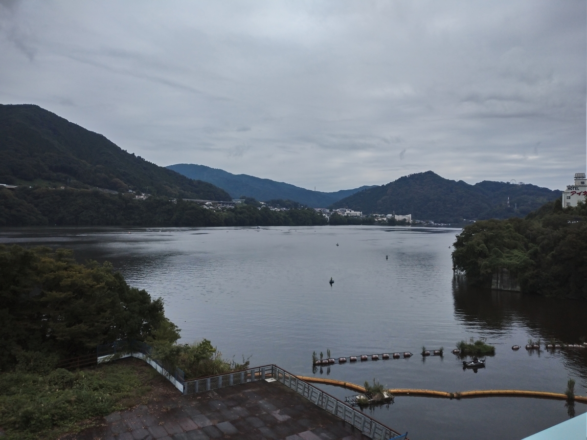
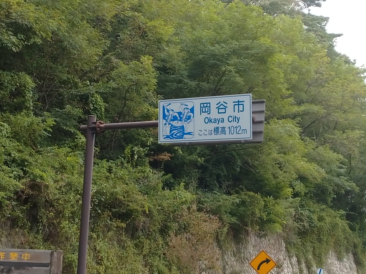
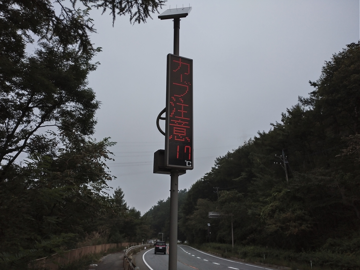
今日は昼から雨の予報。「木曽の山の中」はどんより厚い雲がかかっている。早めの出発。745発。気温20度。奈良井から塩尻までは、殆ど下り。時折ポツンと来るが、「熊野三山」にお願いして(もうかなり昔の話になったな~~)ひたすら進む。塩尻には難なく到着して、すぐ方向を変えて塩尻峠へ。今まで下ってきているんだから、また登らないで欲しいもんだが、ここも中山道の一部だった。がんばるぞ!塩尻峠到着。標高1012mで連日の最高記録達成。気温17度。寒い!これだけ寒いのは北海道ぶりだ!
少し下って、諏訪湖がかすんで見える。「車輪よ、あれが諏訪の湖(こ)だ!」 自転車「よく、見えましぇーーん。」

湖岸まで降りて来て、ちゃんと見えた。諏訪湖を半周する。曇っていて、景色が灰色だ。

当初は、ここからいよいよ中山道の難所、和田峠(標高1500m)に突入する予定だった。本格的な登山サイクリングの暁には日本橋が待っている!と華麗な予定を立てていたが、オジサンはひるんだ。もう修行はイイや! もう中山道は十分楽しんだじゃないか! ということで茅野に到着。
走行距離:63km、通過トンネル:0
ルートラボ(Route Lab)
https://latlonglab.yahoo.co.jp/route/watch?id=4f7be1fb01b49439957acc5682a225d6
According to the weather forecast, it would rain from the afternoon. I started a little earlier today. 745 departure. Temp:20C. From Narai to Shiojiri, the descent would continue. It was easy to move. After the arrival at Shiojiri, I was obliged to got up to the pass again. Finally, I arrived Shiojiri pass. The altitude was 1012m, which was the highest record during the journey. The temperature was 17C. It was cold.
After the pass, I could see “Lake Suwako” though the photo was a little misted. I went half around the lake under the gray sky.
I had made the plan to go up the mountains from here according to the route of Nakasendo(the ancient road). However, I was tired to follow this ancient road since I already enjoyed the road for last 3 days. I took the easier way and arrived Chino city.
Today’s mileage:63km, tunnel passed:0
Day119(17/Sep/2019) 妻籠(つまご)-奈良井(Tsumago-Narai)
(English is available after Japanese.)
815発。気温21度。涼しい。今日は妻籠宿から少し下り、その後は木曽川に沿ってひたすら北上するルート。北上するだけならいいが、ルートラボを見ると分かりますが、ひたすら北に坂道を登って行くというルートです。このあたりの木曽川には大きな石がゴロゴロ。

1時間半ほどこいで道の駅があったのでちょっと休憩。休憩終わり、さあ出発と思ったら、後ろのタイヤがまたパンクしている。なぜ? 先日パンクしたときの釘とか針とか残っていたのか? よく見るが、「小さすぎて見えな~~い!!」 老眼の私には小さい針などは見つけられない。まあとにかく修理。

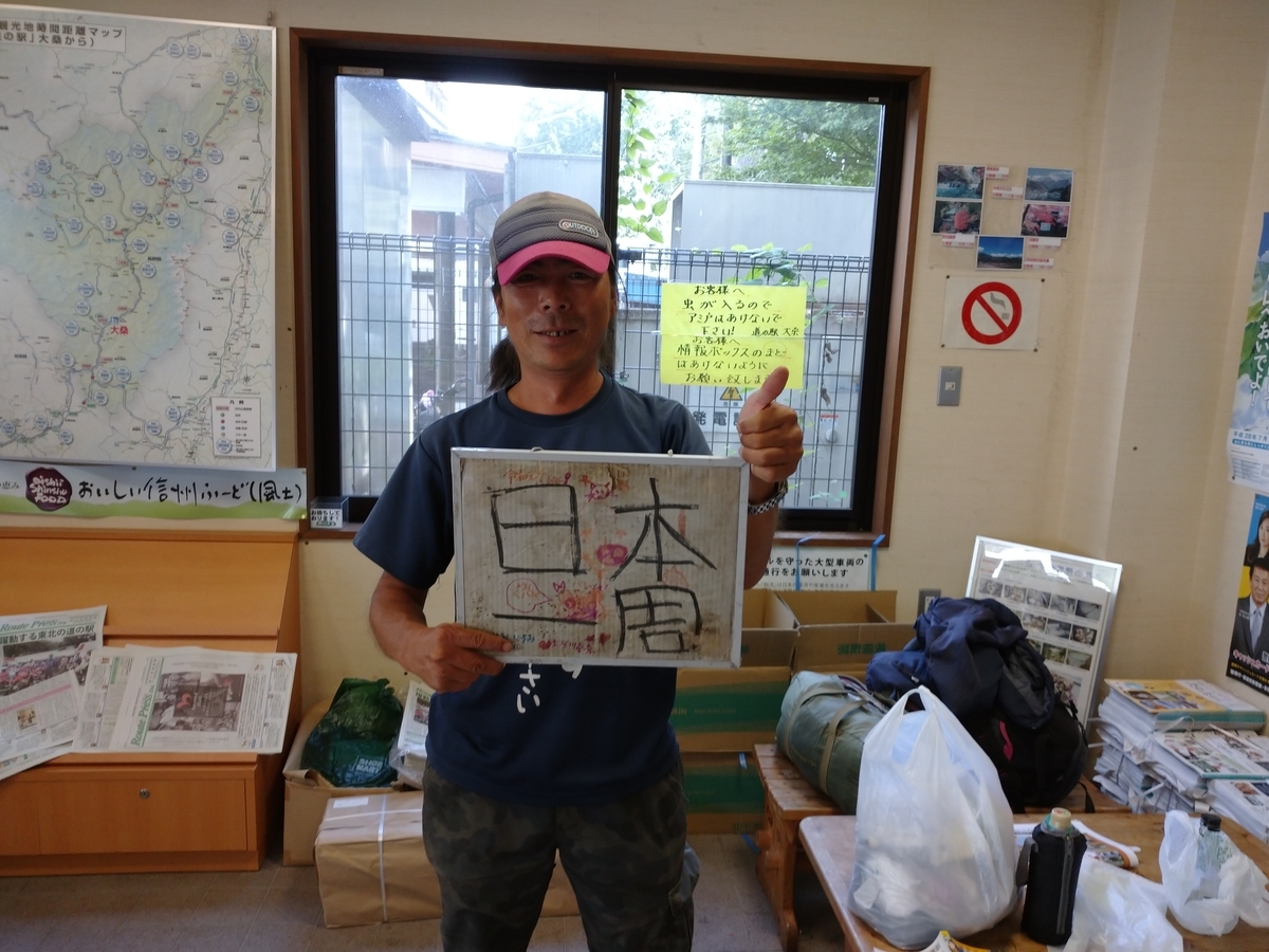
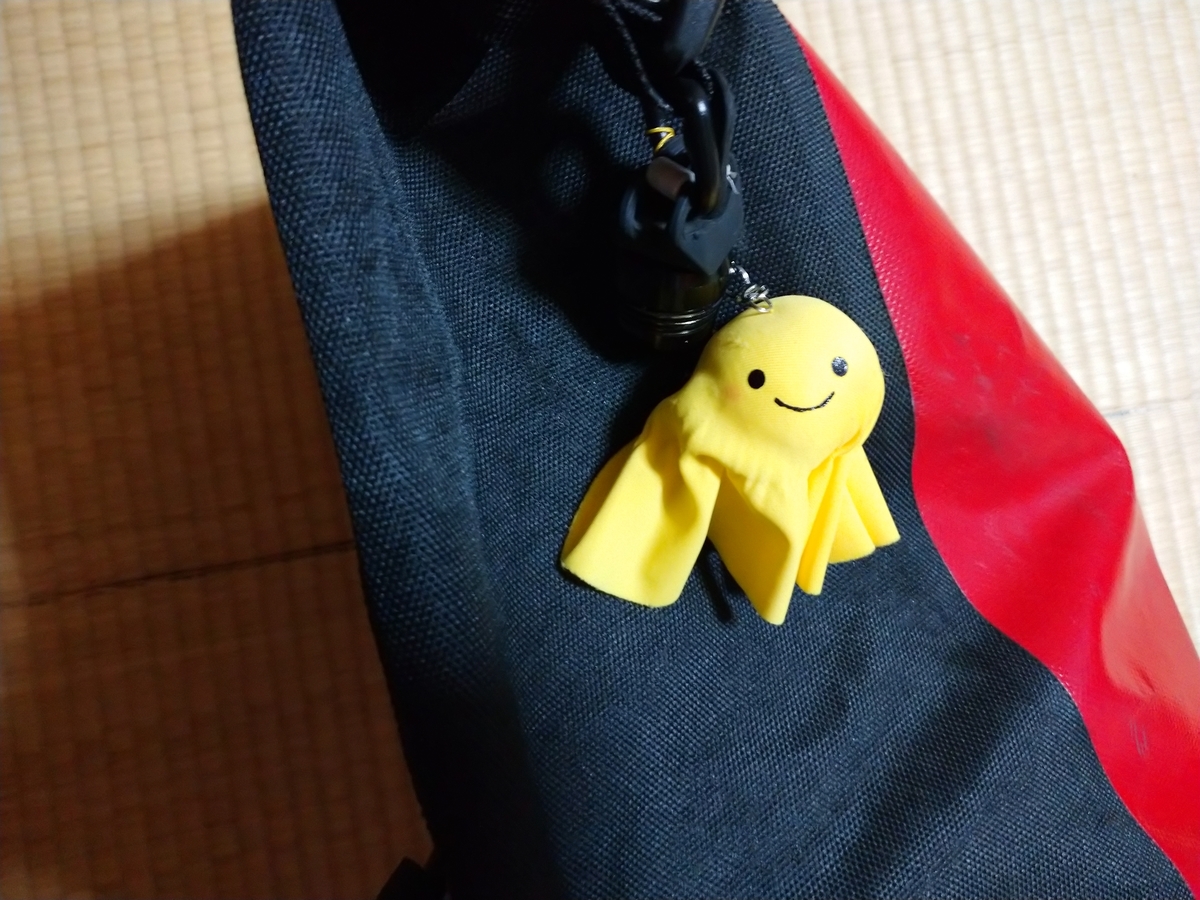
修理していると、話しかけてくる青年が。この青年、ヒッチハイクしながら2年2か月日本を回っていて、故郷の宮崎にいつ帰るのか決めていないとの事。ほおーと思いながら修理していたら、「何かの縁」ということで黄色いテルテル坊主をくれた。修理が終わり、私もお返しに飲み物とお菓子を差し入れして、お互いの無事を祈って別れた。
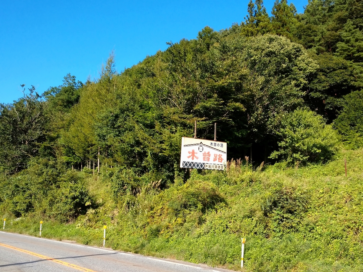
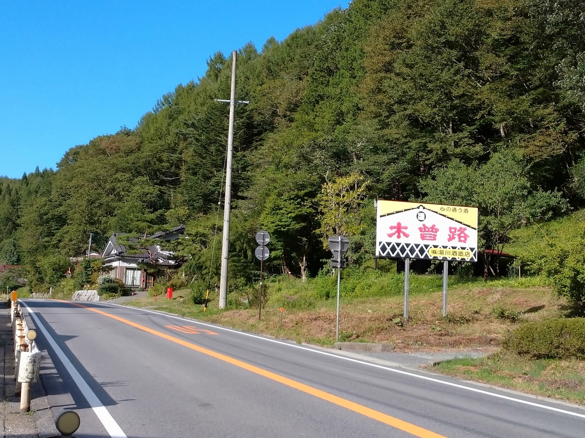
木曽川の両脇には高い山が連なり、「木曽路はすべて山の中である。」とは全くその通り。「看板に偽りなし。」だなと思いながら自転車を走らせる。
奈良井宿の手前が峠で、標高の表示があり994mだった。連日の記録越えだが、どうせなら4桁を見たかった。

しかし、60kmくらいかけて、ジワジワと登って来たから、ぜーぜーヒーヒーはなかった。
途中でパンク修理したり、コインランドリーで洗濯したりしていたので奈良井宿に入ったのは1630頃になった。観光客はほとんどいなかった。奈良井宿は古い家屋が長く続いていた。
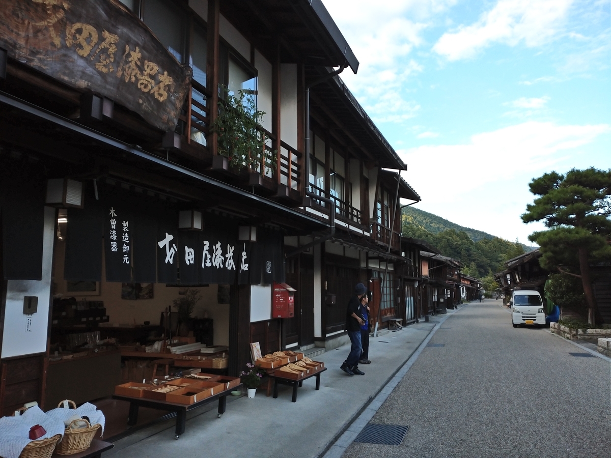
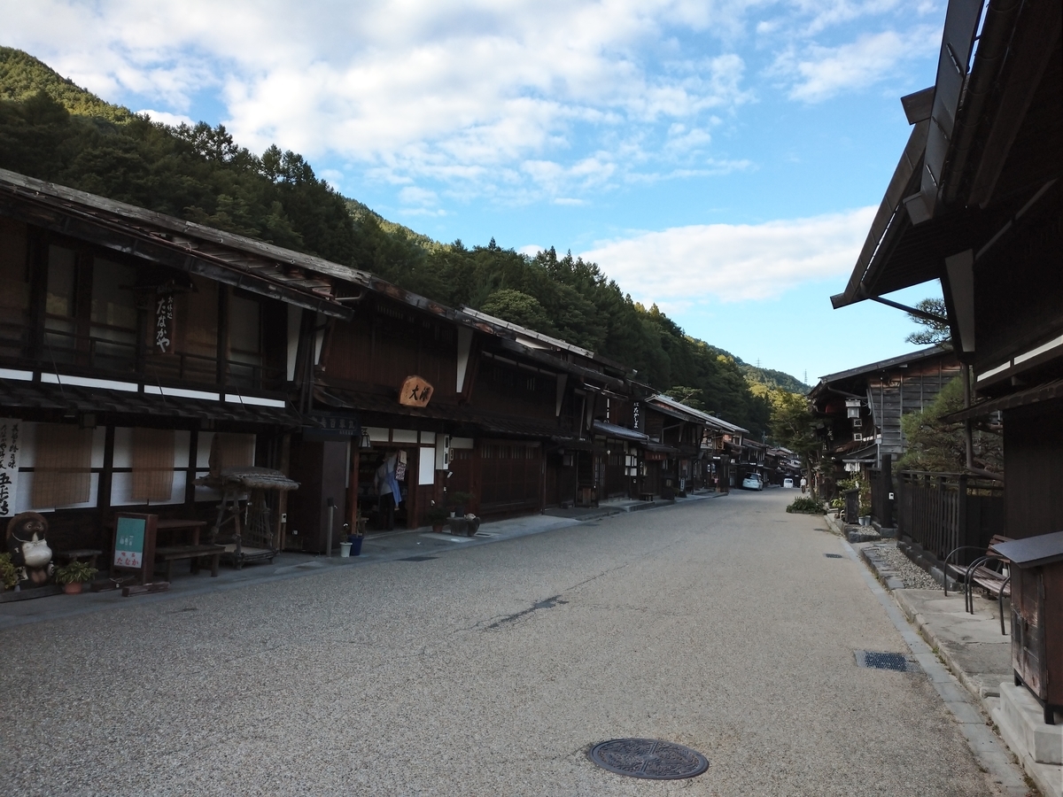
走行距離:61km、通過トンネル:7
ルートラボ(Route Lab)
https://latlonglab.yahoo.co.jp/route/watch?id=d7852f3d58e8743b37605a21325aca0c
815 departure. Temp:21C. It was cool. Today’s route was just going to the north. And it was just ascent for around 60km along Kiso river. There were a lot of big rocks in Kiso river when I started.
After 1.5 hours, I dropped in “Road Station” for a break. When I tried to restart, I found the rear tire was punctured again. The nail or needle of the day before yesterday was remained? I couldn’t find it due to old-sighted eye.
During repairing, a Japanese guy approached and talked to me. According to him, he has been hitchhiking all over Japan for 2 years and 2 months. Wow! We talked about where, how, why and so on. Finally, he gave a small doll for the memory and I also presented some drinks and snacks. We prayed each other’s safe.
Before I arrived today’s destination, I reached the highest altitude point, which was 994m. I wanted to see 4 digits. Since I moved up to around 1000m level by 60km distance, it was not so hard.
I entered Narai-juku around 1630pm. There were no tourists at that time. The length of street was longer than one of Tsumago.
Today’s mileage:61km, tunnels passed:7
Day118(16/Sep/2019) 中津川―馬籠(まごめ)―妻籠(つまご)(Nakatsugawa-Magome-Tsumago)
(English is available after Japanese.)
今朝は930から開く中山道資料館に行くために900出発。気温26度。今日も名古屋は34度の予報。今日は敬老の日とあって、中津川商店街(後でこの通りは中山道だったと知った)は日の丸で飾り付けてある。清々しい気分だ。やはり祝日は日の丸でしょう!

資料館で得たひとつの知識は、14代将軍家茂に嫁いだ和宮は中山道を通って江戸入りしたが(中津川宿に泊る)、その時の行列の人員が約2万名だったというもの。その人員の食料の準備、宿の手配などを想像すると頭が痛くなる。浅田次郎の小説に「一路」という、これも中山道を通る架空の岐阜にある藩の参勤交代の手配についての作品がある。これは次郎ちゃんの小説の中でも大変面白いものの一つだと思う。その小説もあって、今回中山道を通ろうと決めました。
中津川宿の名残を残す町並みを写真にとり、次の落合宿をめざす。

落合宿まで行くのに道を大きく間違えながら到着。落合宿本陣です。

次は馬籠宿(まごめじゅく)。今日は坂道を気にせず(ナビに頼らず)、中山道を通って妻籠(つまご)まで行こうと思っていたが甘かった。急な階段、でこぼこの激しい石畳などがあり自転車ではいけない。
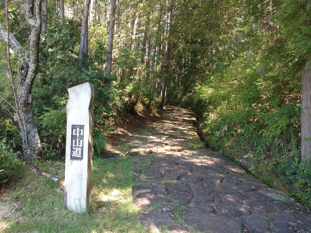
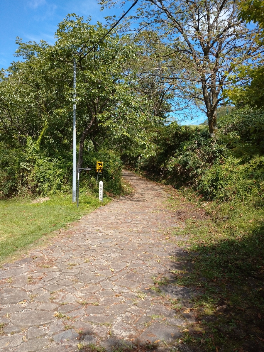
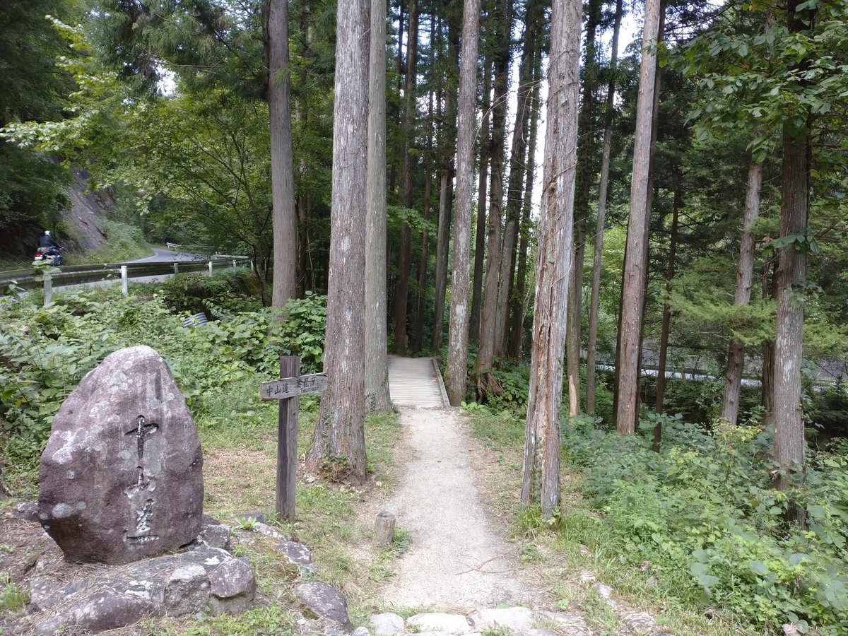
だから中山道と今の道を組み合わせて通ると間違えてしまう。馬籠との境の十曲峠(じゅっきょくとうげ)はひーひー自転車を押しながら通りすぎました。馬籠着。ここにもまた沢山の外国人(特に白人)が多い。この馬籠宿は急な坂道になっており、通りを歩くのもなかなか大変。

一番上の展望台からははるか恵那山(えなざん:海抜2192m)が見えた。

ここでは丁度稲刈りが行われており、稲刈りを待つ水田も黄金色に輝いていた。
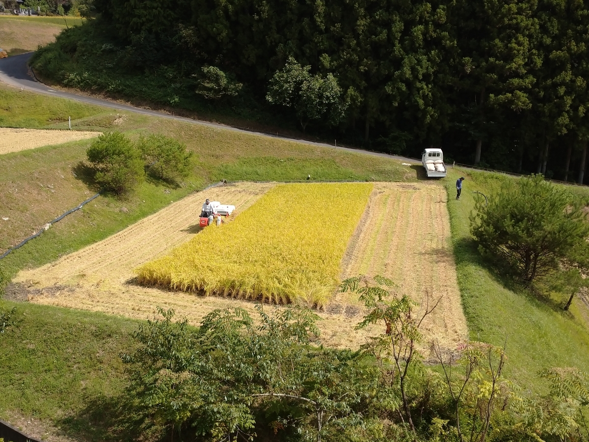
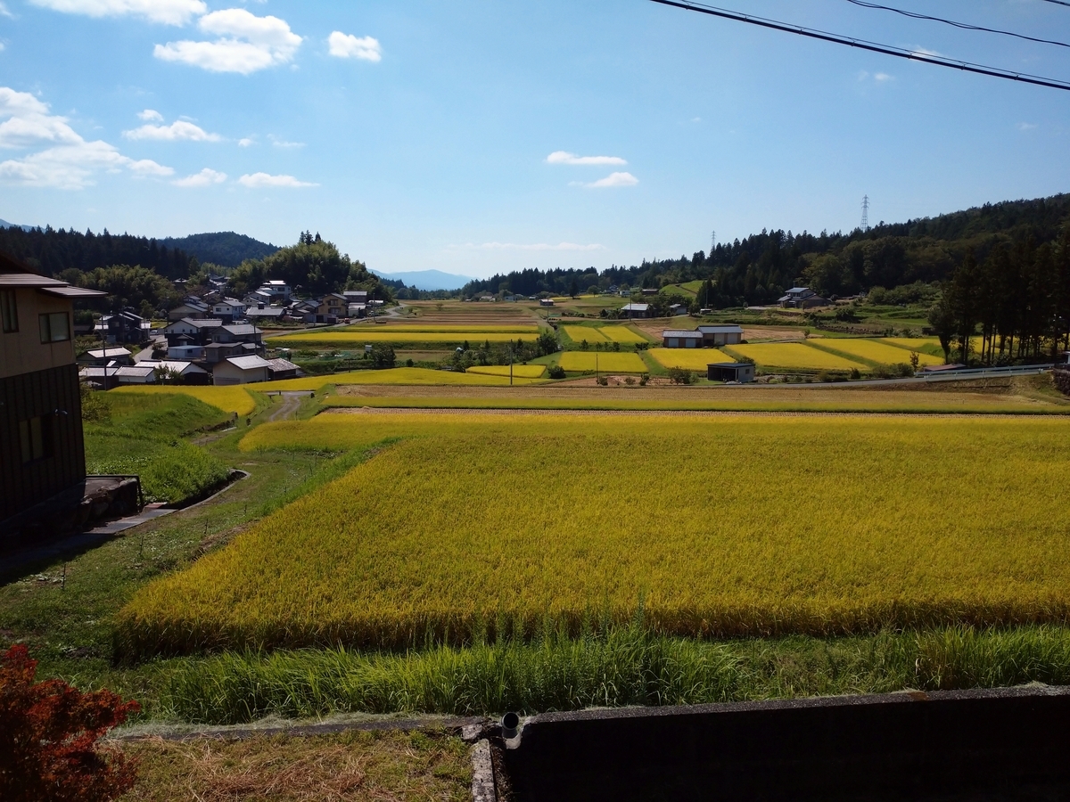
ここで昼メシ食べて、いよいよ今日のハイライト馬籠峠へ! ヒーヒーハーハー言いながらなんとか到着馬籠峠。標高801mは今回の旅の最高地点。これから下りだ。

妻籠宿(つまごじゅく)に到着。ここには38年前来たことがある。全国に先駆けて町並み保存運動が起こり、ここの人達は今でも「売らない、貸さない、壊さない」の三原則で生活しているとの事。だから街並みは変わっていない。
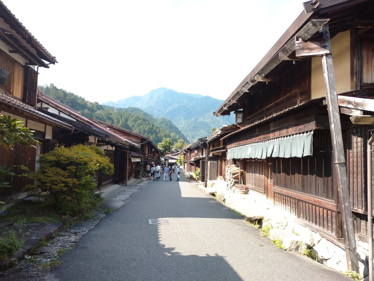
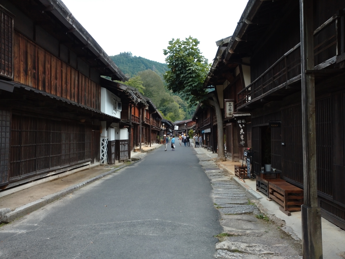
最後に、行燈(あんどん)だけの真っ暗な妻籠をとろう1900に外へ。街灯がないので実際は真っ暗。しかしソニーのスマホは行燈(あんどん)だけの明かりで夕方の景色にしてしまった。

走行距離:28km(距離の割にはとても大変だった)、通過トンネル:0
ルートラボ(Route Lab)
https://latlonglab.yahoo.co.jp/route/watch?id=eb897515ca0b9ed77dedb057087476eb
900 departure. Temp:26C. I delayed the departure to go to the “Nakasendo Museum”. Nakasendo is one of 5 main roads to Edo in Edo period. Since today was the national holiday, many national flags were put at the entrance of Nakatsugawa commercial street.
In the museum, I got one information about the trip for marriage of Kazunomiya princess to #14 Shogun from Kyoto to Edo (the former name of Tokyo). The total numbers of delegation were around 20K people. It must be very difficult to arrange the logistic and accommodation.
After I took the photo of old street in Nakatsugawa city, I moved to the next village (Ochiai-juku). Although I took the wrong roads, I reached there.
I also put several “Nakasendo road” photos. Many people in Edo period were going back and forth in these roads. Since there were stairs and stone pavements, it was impossible to go by bicycle.
After Ochiai-juku, I moved to Magome-juku. The village located at the slope and it was tough to walk. I also could see the “Mt. Ena(altitude 2192m) from the observatory.
In this Magome area, the farmers were harvesting the rice. And many rice fields were waiting for harvesting.
The next was the pass of Magome which could be the main challenge today. To reach this pass, it was very tough and difficult. Its altitude was 801m where was the highest point during my journey.
After this pass, the descent continued to Tsumago-juku. It was an easy job to go down. In Tsumago-juku street, many old-style houses remained. I had visited here 38years ago. The view was not changed at all. Local inhabitants started to preserve the townscape long time ago. They have 3 policies, “Not sell houses, Not rent and Not break”. It is not easy for them to maintain the town. Finally, I put Tsumago street in the night. But thanks to Sony’s smartphone, it was much brighter than the real scenery.
Today’s mileage:28km, tunnel passed:0